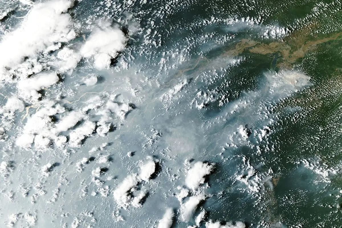
A 15 October Earth Observatory report describes increased fire activity in the central and eastern Amazon, alongside a satellite image captured on 12 October.
The image shows smoke around the Amazon River. The report links heightened fire risk to drought accompanying El Niño, while explaining a difficulty in tracking fires from orbit: dense smoke, clouds and tree cover can conceal their infrared signals.
Lower-intensity fires beneath the canopy can be particularly difficult to detect. A sparse set of satellite fire markers therefore cannot, on its own, establish that the forest below is free of fire.