NASA is monitoring ocean and atmospheric conditions associated with a developing El Niño, a climate pattern linked to warmer-than-average sea-surface temperatures across parts of the central and eastern equatorial Pacific. Recent reporting on climate forecasts has raised the possibility of an unusually strong event. Such forecasts describe probabilities, however, not certainty: the strength, timing and regional impacts can change as ocean and atmospheric conditions evolve.
What is El Niño?
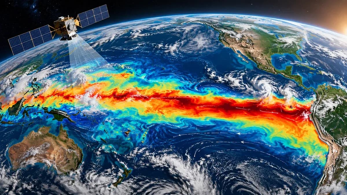
El Niño is the warm phase of the El Niño–Southern Oscillation, or ENSO, a recurring climate pattern in the tropical Pacific. During El Niño, trade winds and ocean circulation shift, allowing warmer water to spread across parts of the equatorial Pacific. That alters patterns of rising air, rainfall and atmospheric circulation, which can influence weather far beyond the Pacific basin.
How do NASA and climate agencies monitor it?
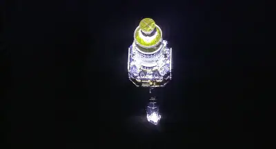
Satellites and ocean observing systems help scientists measure sea-surface temperature, sea level, winds, cloud patterns and other indicators. NASA contributes Earth-observation measurements and research, while operational outlooks are produced by climate agencies including the US National Oceanic and Atmospheric Administration and international forecasting centres. A satellite image can show an ocean anomaly, but determining whether an event will strengthen requires combining observations with models and atmospheric indicators.
What could it mean for weather?
El Niño can shift the odds of certain weather patterns, including rainfall changes, drought in some regions and heavier rain in others. It can also influence tropical cyclone activity and contribute to higher global average temperatures because the ocean releases heat into the atmosphere. These are broad tendencies, not precise local predictions. The outcome for any country depends on the season, the event’s strength and other climate patterns operating at the same time.
What should people in India know?
El Niño has historically been associated with an increased risk of weaker Indian summer monsoon rainfall, but it does not determine the monsoon by itself. Indian Ocean conditions, the Indian Ocean Dipole, regional circulation and other factors also matter. It would be premature to infer a specific Indian rainfall outcome from a global El Niño headline alone. Follow updates from the India Meteorological Department and other official forecasting agencies as the season approaches.
Does a forecast of a strong El Niño mean a record is certain?
No. Seasonal outlooks express probabilities based on current observations and models. A statement that an event has a particular chance of becoming very strong should not be reported as a confirmed record. Forecasts are updated as new data becomes available, and comparisons with historical events depend on the metric and period used.
Frequently asked questions
Key questions and answers at a glance.
Is El Niño the same as global warming?
No. El Niño is a naturally recurring climate pattern. Human-caused global warming is the long-term rise in average temperatures. El Niño can temporarily add to global heat.
Will El Niño definitely cause a weak monsoon in India?
No. It can raise the risk, but Indian monsoon rainfall depends on several interacting ocean and atmospheric factors.
Where can readers find official updates?
Check NASA Earth-observation updates for satellite research, NOAA climate outlooks for ENSO probabilities, and India Meteorological Department forecasts for Indian conditions.